Superpedestrian has made it easier for riders to use its e-scooters as an everyday form of transport by integrating with the biggest global travel app – Google Maps.
With the app, riders can plan their multimodal journey alongside real-time transit and rideshare information.
E-scooters are often used for last-mile journeys in conjunction with public transit, walking and rideshare, and so Superpedestrian is looking to support its riders with the “best tools” for planning their trip, said the firm.
“With over a billion users using Google Maps globally every month, integrations like this showcase micromobility options to a much wider audience,” Superpedestrian’s Policy Director for UK and Ireland, Jean Andrews, told Zag Daily.
“This is the future of micromobility – where people can use one platform to plan their journey, and shared e-scooters and e-bikes are interwoven into the fabric of how we get around our cities, alongside public transport and active modes. The integration of micromobility options with the biggest global travel app is proof that micromobility is here to stay.”
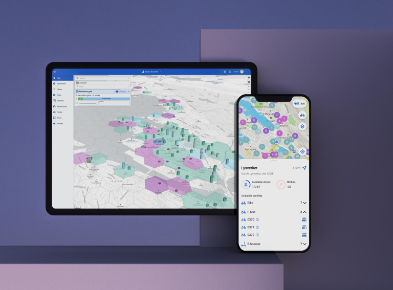
Riders can find Superpedestrian e-scooters in Google Maps’ bike section. In addition to real-time location, Google Maps will also display the scooter’s battery range, estimated cost and trip travel time. When users select the scooter option, they will be directed to the Superpedestrian app to unlock the scooter.
The integration is currently live in cities across the U.S, Italy, Spain, Austria and Portugal and can be downloaded on both iOS and Android.


