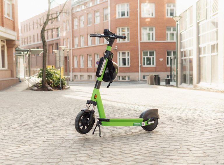
SkeyDrone has just released its second Drone Detection Report dissecting two months of drone activity across 75% of the Belgian coastline.
Founded in 2020, SkeyDrone is a joint venture between Brussels Airport and the Belgian air navigation service provider skeyes.
Four years on and its public drone detection reports have come to be an industry go-to on the Belgian evolving drone landscape.
Zag Daily: What does SkeyDrone do?
Nele: “We provide software and services for drone operators, authorities and companies to safely integrate, monitor and manage drones in the airspace. We’re mostly focused on Belgium because that’s where the majority of our customers are, but we’re also venturing into neighbouring countries and especially the Netherlands.”
Zag Daily: What drone services do you offer?
Nele: “Firstly, there’s our Drone Detection as a Service offering. This is when we go on site to install a drone detection antenna and hook it up to our cloud-based software modules. It allows our users to access either our drone radar software module which is used for live drone detection, or the drone analytics software module which lets you go back in time and analyse historical data, like in this report on the Belgian coast.
“We also offer an unmanned traffic management system. This is being used by air navigation service providers and geozone managers who want to manage flight authorisation in zones where drone flights are restricted.
“Last, we offer services to drone operators who want to fly beyond visual line of sight (BVLOS). This is when the operator doesn’t have a visual of the drone and isn’t in close proximity to it, but instead operates it from a control room. These drone operators can use our high-quality traffic information service to visualize both manned and unmanned traffic in real-time.”
Zag Daily: SkeyDrone has just released its second Drone Detection Report. What were the key findings?
Nele: “In total, we recorded over 1,100 drone flights. We collected this data over July and August. This is school holiday time in Belgium so we expected there to be lots of traffic with tourists spending their vacation there. On average, we observed 18 flights per day in the area, though it ranged between zero and 43.
“Unsurprisingly, there was a negative correlation between the number of flights and the wind. So when there was a lot of wind, there were very few drone flights. One day the wind was so strong that we recorded no flights.”
Zag Daily: And when did you record most flights?
Nele: “Most flights were detected on Sundays, and we also found the majority to take place between 7pm and 9pm, perhaps because of the beautiful coastline and sunsets seen in the West. On average, the drone flights were rather short, lasting four minutes. We also analysed the types of drones that were used, and almost 75% were DJI Minis.
“The average height for a drone to fly was 218ft above ground level, nicely below the 400ft limit. However, we did see a number of drones surpass this limit and fly higher than what’s permitted in the Open category.”
Zag Daily: Who’s operating these drones?
Nele: “It’s hard to tell. We can see whether the flights have been properly authorised or not because we’re connected to the system in which the geozone manager grants the pilot a flight authorisation.
“However, the situation on the Belgian coast is very complicated due to several overlapping geozones. The Ostend airport and the Port of Zeebrugge zones overlap for instance, making it difficult to check all the requirements, so we didn’t include this in the report.
“But there is a distinction to be made between amateurs who are carelessly operating their drones, and then people who actually know what they’re doing and have the proper authorisation.”
Zag Daily: What’s next for SkeyDrone?
Nele: “We’re in the process of becoming a certified U-space service provider. U-space is a new European regulatory framework through which specific airspaces will be created where all drone traffic will need to be supported by one of the certified service providers. For instance, in the Port of Antwerp there’s a high demand for the use of drones and hence this is one of the candidates to be designated as U-space airspace. Once that’s in place, SkeyDrone is aiming to be a service provider managing all drone traffic there and making sure that everything happens safely and everybody has authorisation to fly.”